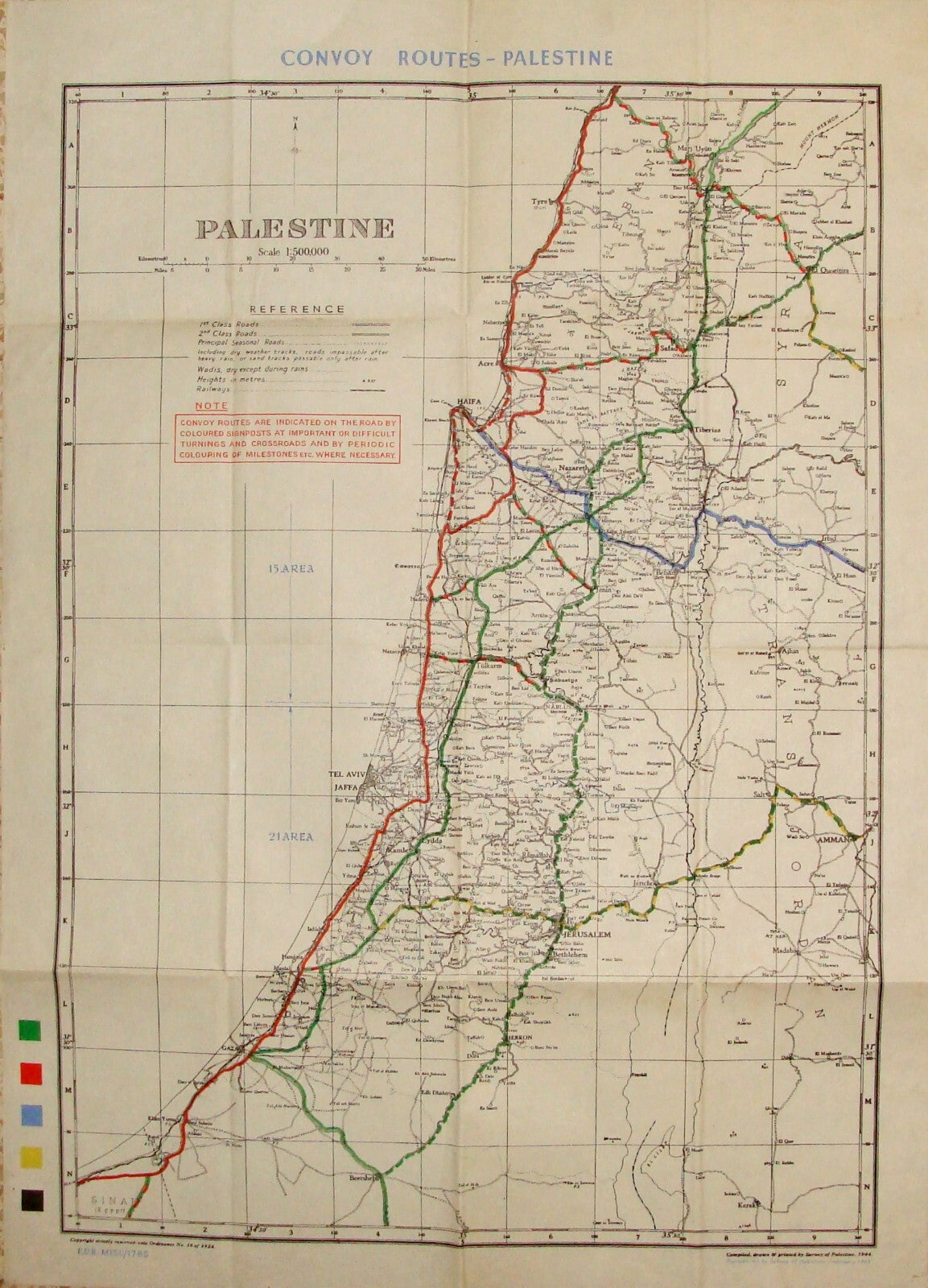
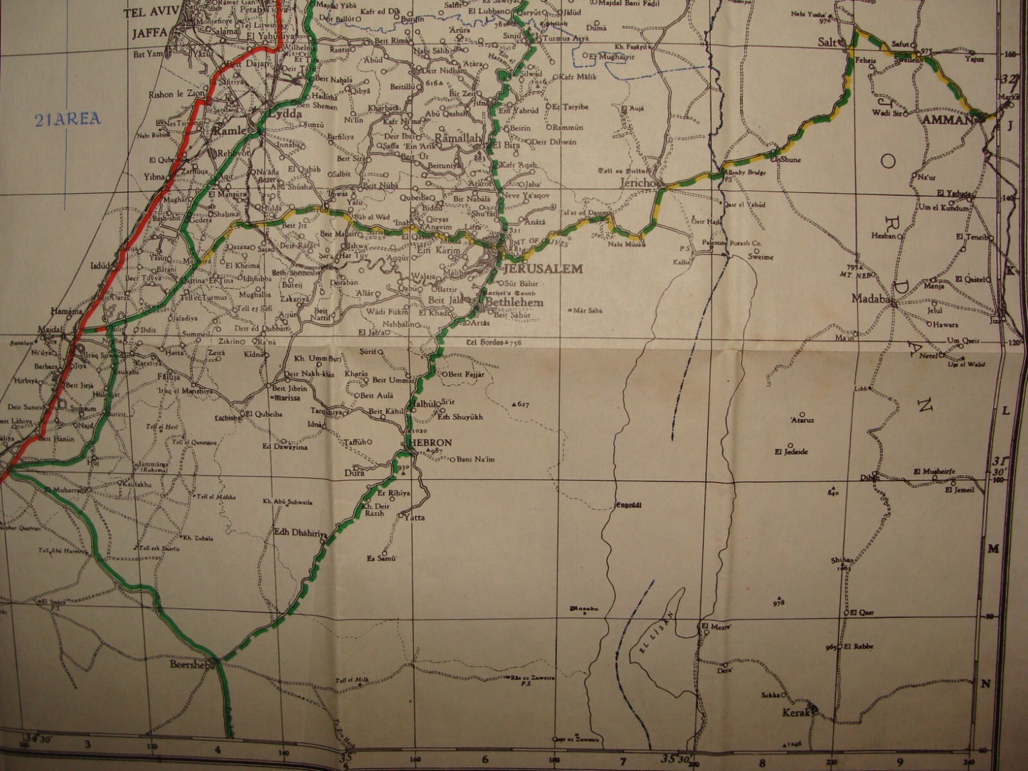
מפה נדירה ומסווגת של ארץ ישראל, סוריה ולבנון, שנערכה בימי מלחמת העולם השנייה במטרה לתעד את נתיבי השיירות של הצבא הבריטי.
קיומה של המפה התברר כהרסני עבור השלטון הבריטי מכיוון שהאצ"ל השתמש במסמכים אלו למיפוי הדרכים וביצוע פעולותיו.
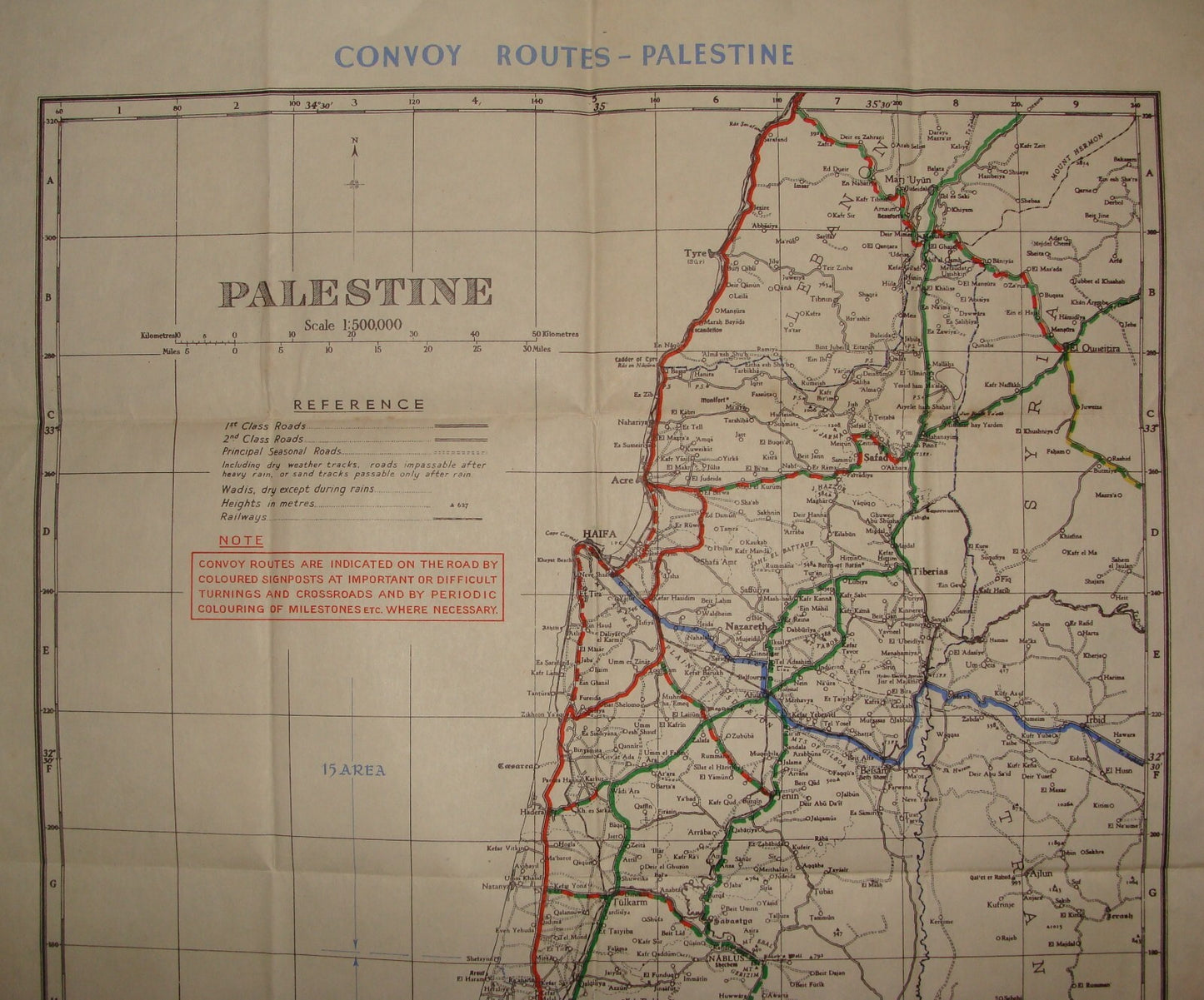
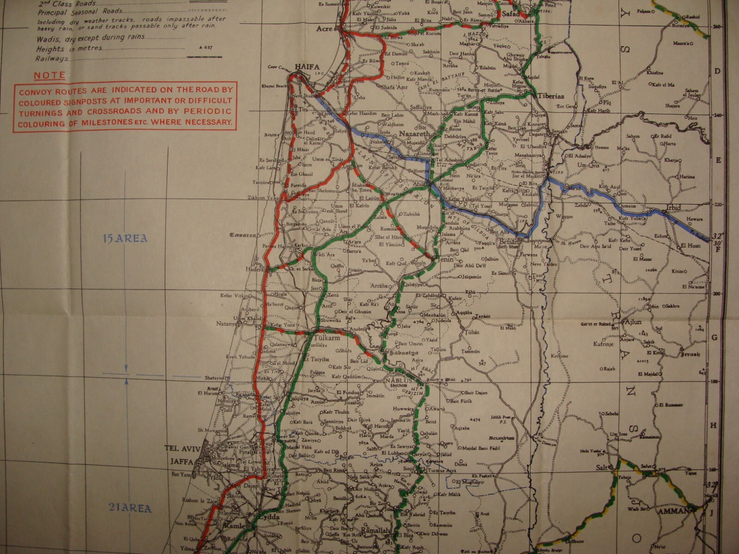
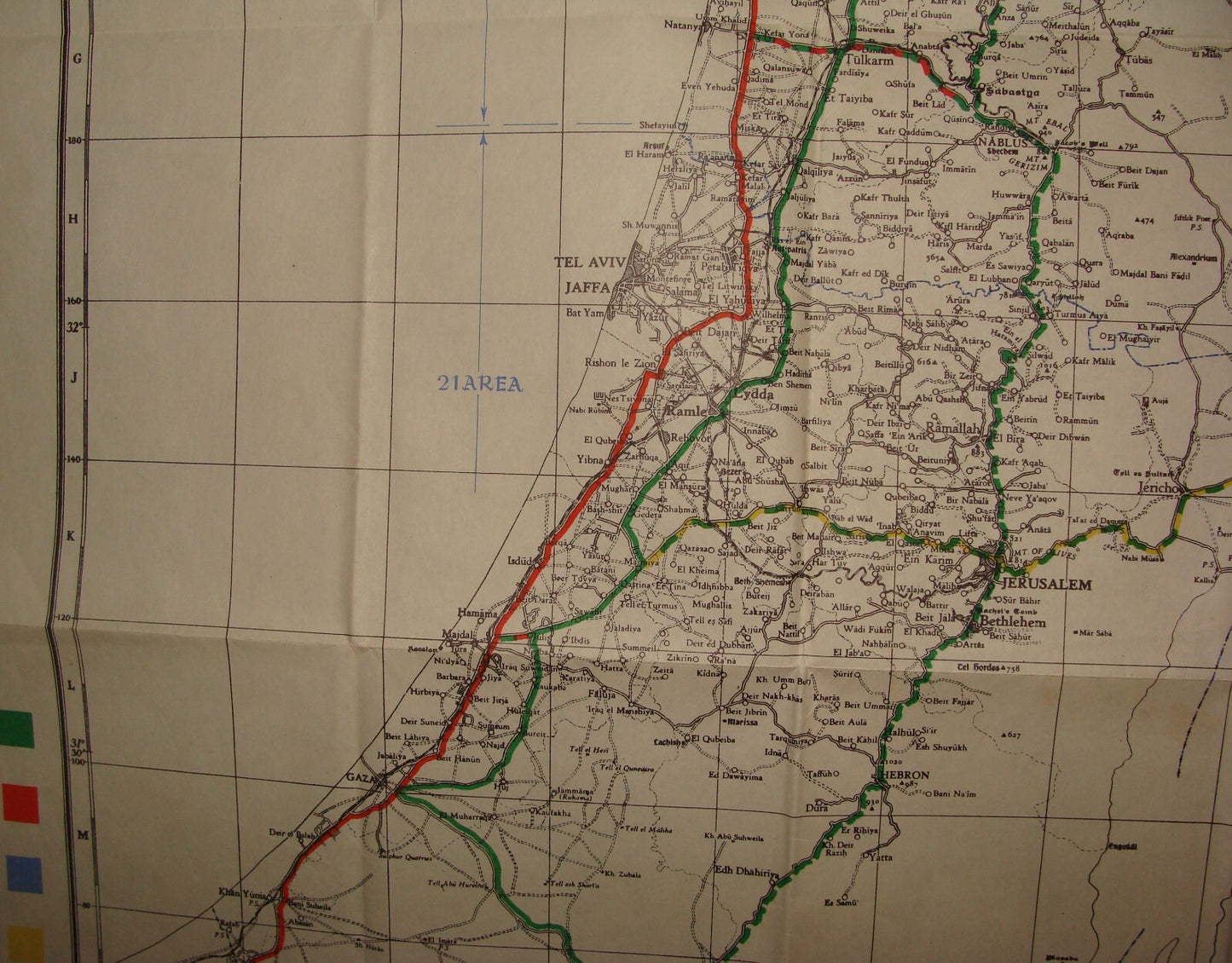
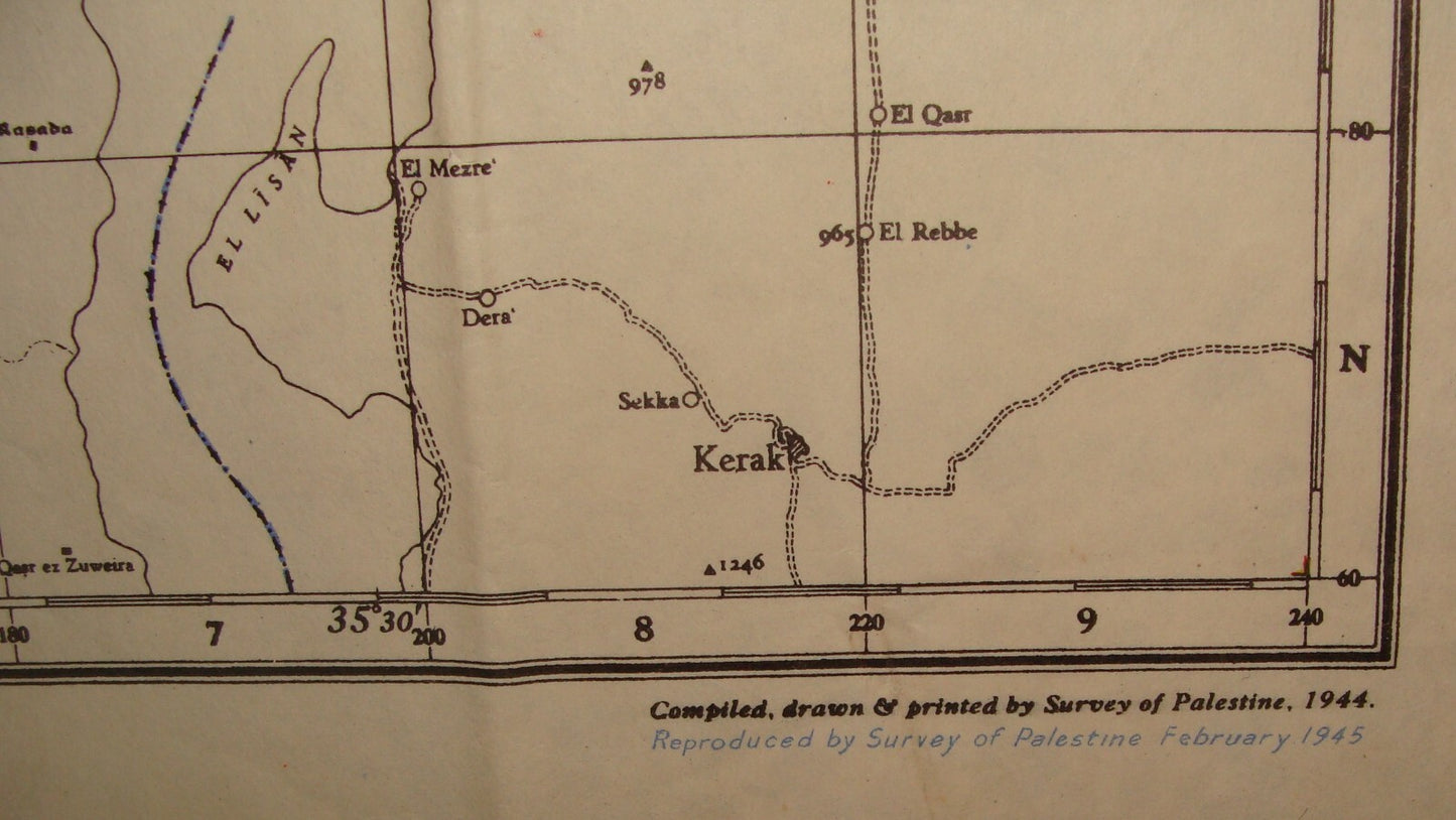
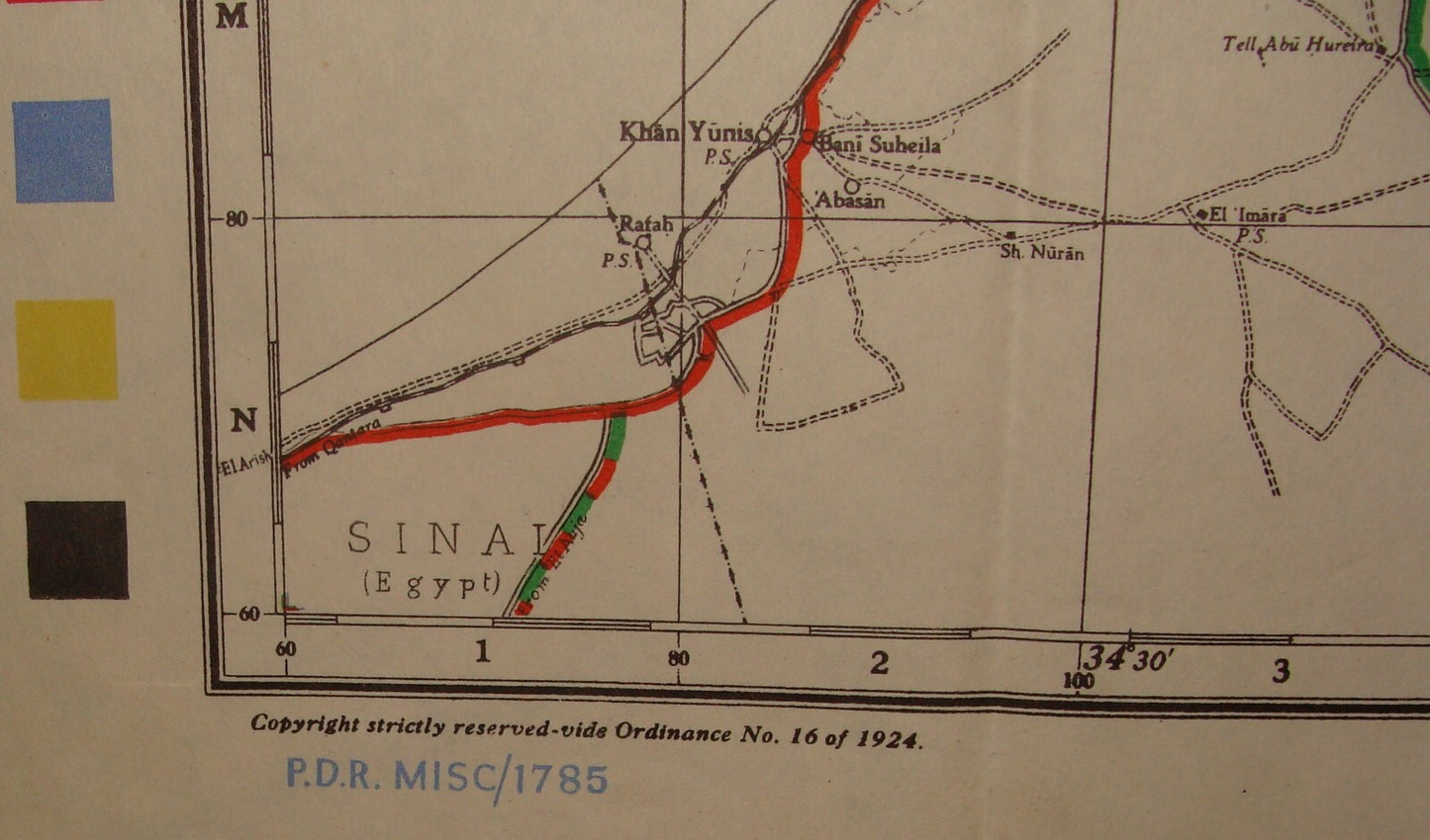
המפה הנדירה הזו מתארת את אזורי השליטה של המנדט הבריטי בארץ ישראל, כמו גם חלקים סמוכים של מצרים, ירדן, לבנון וסוריה .יצאה לאור בפברואר 1945 על-ידי Survey of Palestine בירושלים בסוף מלחמת העולם השנייה, לשימוש של הצבא הבריטי, כדי להתוות את דרכי השיירות.
המפה מודפסת על תבנית מונוכרום שפותחה לראשונה ב- 1924, ועודכנה ל- 1944, אך כאן מודפסת בארבע צבעים לשימוש הכוחות.
Palestine Scale 1:500,000 / Convoy Routes Palestine. A rare and classified map of Palestine and adjacent lands made during the final days of World War II to delineate convoy routes used by the British Army; this was risky business as the Irgun', a Jewish paramilitary group targeted said convoys; printed in Jerusalem by the Survey of Palestine. This rare, classified map depicts the bulk of what was the British mandate of Palestine, as well as adjacent parts of Egypt, Transjordan, Lebanon and Syria. It was made in February 1945, late in World War II by the Survey of Palestine in Jerusalem for the use of the British Army to delineate their regular convoy routes.
43x60 cm