1
/
of
1
IsraelPalestineHistory
AERIAL PHOTOGRAPH GEOLOGIC INTERPRETATION MAPPING RICHARD RAY Map Geology Book
AERIAL PHOTOGRAPH GEOLOGIC INTERPRETATION MAPPING RICHARD RAY Map Geology Book
Regular price
$38.00 USD
Regular price
Sale price
$38.00 USD
Quantity
Couldn't load pickup availability
AERIAL PHOTOGRAPH GEOLOGIC INTERPRETATION MAPPING RICHARD RAY Map Geology Book
Ray, Richard G.
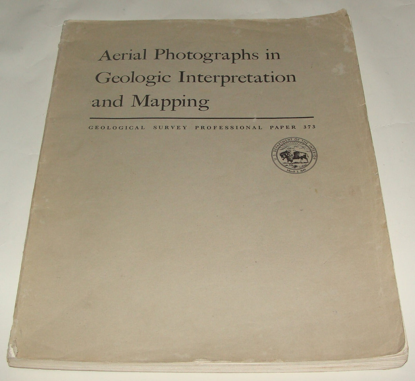
AERIAL PHOTOGRAPHS IN GEOLOGIC INTERPRETATION AND MAPPING: PROFESSIONAL PAPER 373
Washington, DC: United States Geological Survey/USGS/Government Printing Office/GPO, 1960. Soft cover. Item #46731
The use of aerial photographs to obtain qualitative and quantitative geologic information, and instrument procedures employed in compiling geologic data from aerial photographs. 230 pages with sketches, photographs of equipment, diagrams, numerous airal photograph examples, references and index
For condition see photos
Share


